Introduction to Recent Rainfall Patterns in India
India’s weather is heavily influenced by the monsoon season, which typically brings vital rainfall from June to September, supporting agriculture, replenishing water sources, and sustaining ecosystems. However, irregular or heavy precipitation can lead to flooding and disruptions.
On August 7, meteorological observations captured rainfall amounts in centimeters over the previous 24 hours up to 0830 hours Indian Standard Time. This data highlights notable showers across multiple states, particularly in the northeast, south, and parts of the north and east, reflecting active weather systems in these areas.
Heavy Showers in the Northeastern States
The northeastern region, known for its hilly terrain and biodiversity, often experiences intense rainfall due to orographic effects and monsoon troughs. In the subdivision covering Nagaland, Manipur, Mizoram, and Tripura, significant precipitation was noted. West Tripura district stood out with Lembuchhera receiving 21 centimeters, Agartala Airport recording 12 centimeters, and the Met Agartala automatic weather station measuring 11 centimeters. Additionally, Zunheboto district in Nagaland saw 7 centimeters.
Neighboring Assam and Meghalaya, which include some of the wettest places on earth like Cherrapunji, also reported substantial rain. Dibrugarh district’s Moranhat area had 18 centimeters, while Lakhimpur’s Chauldhowaghat got 9 centimeters. Both Mawsynram and Cherrapunji in East Khasi Hills, along with Dhemaji district, each received 8 centimeters.
Rainfall in Eastern and Sub-Himalayan Areas
Sub-Himalayan West Bengal and Sikkim, prone to landslides during monsoons due to their proximity to the Himalayas, recorded moderate to heavy rain. Jalpaiguri’s Damdim Tea Estate and Alipurduar’s Gopalpur Tea Estate each saw 10 centimeters. Cooch Behar’s Sankosh area had 8 centimeters, and several locations in Jalpaiguri and Alipurduar, including Murti, Dima Tea Estate, Kumargram Tea Estate, and Newlands Tea Garden, each registered 7 centimeters.
In Odisha, a state frequently affected by cyclonic activity from the Bay of Bengal, Boudhgarh’s Harabhanga recorded 10 centimeters, and Nawarangpur’s Raighar had 7 centimeters. Jharkhand, with its plateau landscape, noted 7 centimeters in West Singbhum’s Kumardungi.
Precipitation in Southern and Western Regions
Southern India, including Tamil Nadu, Puducherry, and Karaikal, benefits from northeast monsoon influences but can see off-season rains. Ranipet’s Wallajah area received 13 centimeters, with the same district’s Kalavai PWD station at 10 centimeters. Tirupattur’s Vaniyambadi had 9 centimeters, and Tiruvannamalai’s Kalasapakkam recorded 8 centimeters.
Rayalaseema in Andhra Pradesh, a semi-arid zone reliant on irrigation, saw Chittoor’s Venkatagiri Kota with 9 centimeters. In Telangana, where rainfall supports crops like rice and cotton, Kamareddy’s Tadwai and Banswada each had 7 centimeters.
North Interior Karnataka, an agricultural hub, reported 7 centimeters in Koppal’s Kuknoor. Marathwada in Maharashtra, often facing drought challenges, had Dharashiv’s IMD part-time station recording 7 centimeters.
Rain in Northern and Central Parts
Himachal Pradesh, with its mountainous geography, experiences variable weather that can trigger avalanches or floods. Bilaspur’s Naina Davi saw 9 centimeters, while the same district’s R L Bbmb and Sirmaur’s Pachhad each received 7 centimeters.
East Uttar Pradesh, part of the Gangetic plains crucial for wheat production, noted 7 centimeters in Bahraich’s Mahsi.
Implications and Outlook
These rainfall figures underscore the dynamic nature of India’s climate, where localized heavy downpours can alleviate dry spells but also pose risks like waterlogging. Monitoring such data helps in disaster preparedness and resource management. As the monsoon progresses, continued vigilance is essential for regions vulnerable to extreme weather events.
For Current Latest Weather Situations Please see the Images Below
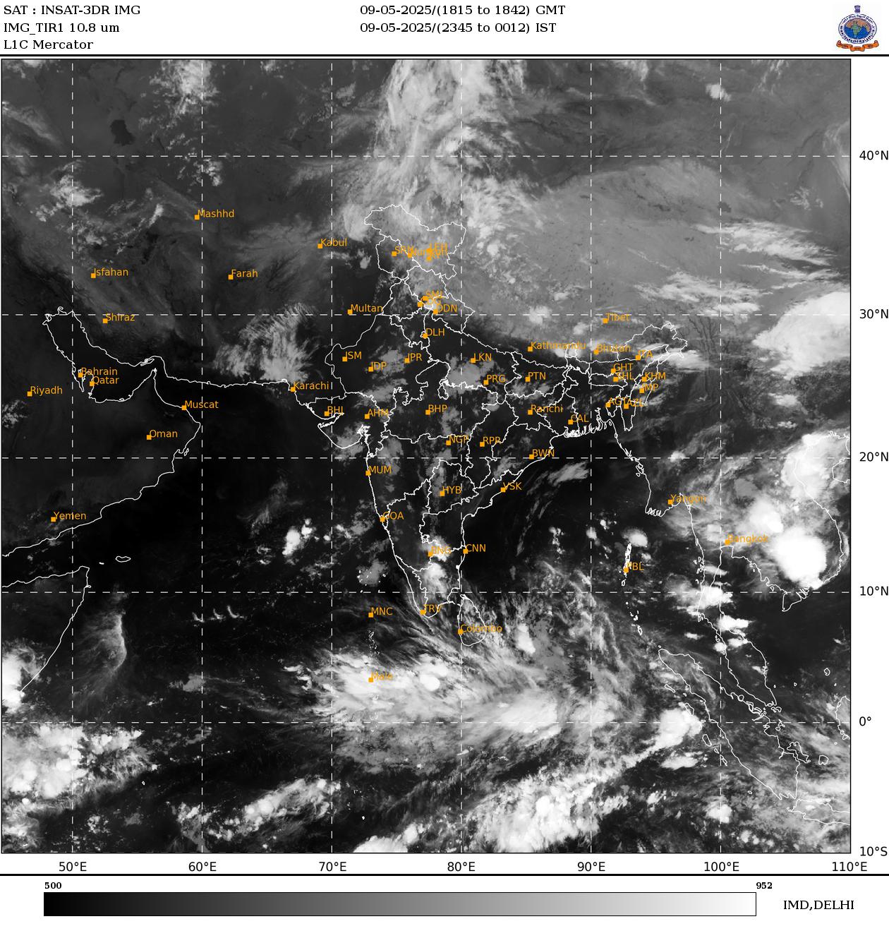
Settelite Image recieved from India Meteorological Department showing latest positions of clouds.
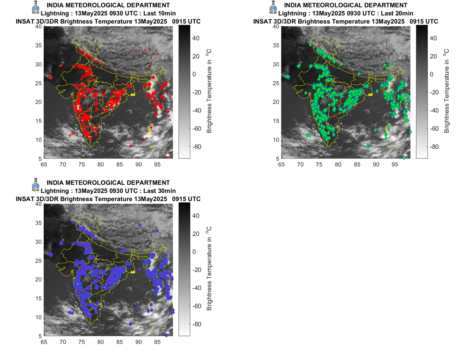
Latesest Settelite Image recieved from India Meteorological Department showing Lightening events.
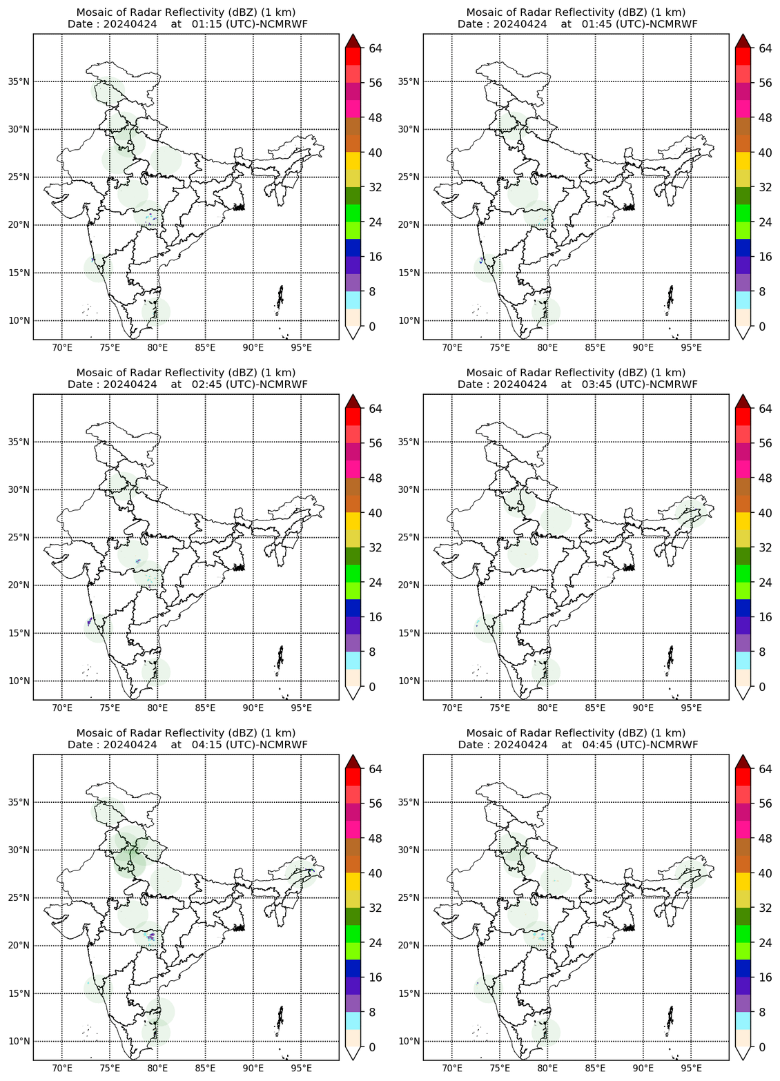
Latesest Settelite Image recieved from India Meteorological Department showing Mosiac Radar Reflectivity